
TRULY3D LiDAR VIEWER
TRULY3D LiDAR VIEWER
Truly 3D LiDAR Viewer is a powerful web-based platform that enables users to explore and analyze three-dimensional point cloud datasets captured by LiDAR sensors. The Truly 3D LiDAR Viewer combines detailed 3D point cloud data with high-resolution imagery to support surveying and mapping, terrain modeling, precise measurements, infrastructure inspection, and asset inventory management. It also includes specialized tools for telecom engineering, helping professionals efficiently visualize and manage LiDAR data for field and infrastructure projects.
Highlights:
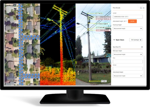
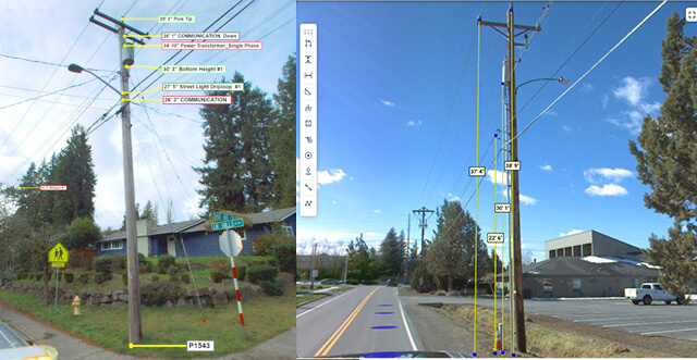
The LiDAR Viewer is an advanced software tool designed to visualize and analyze LiDAR data, enabling professionals to efficiently process and interpret complex 3D datasets. Key applications include: