Mobile Mapping vs. Handheld LiDAR — Which One Fits Your Survey?
Not every LiDAR survey calls for the same equipment. Choosing between mobile mapping and handheld (or body-worn/tripod) LiDAR often comes down to a simple tradeoff: how much ground you need to cover versus how close you need to get to specific assets.
Mobile Mapping: Built for Scale
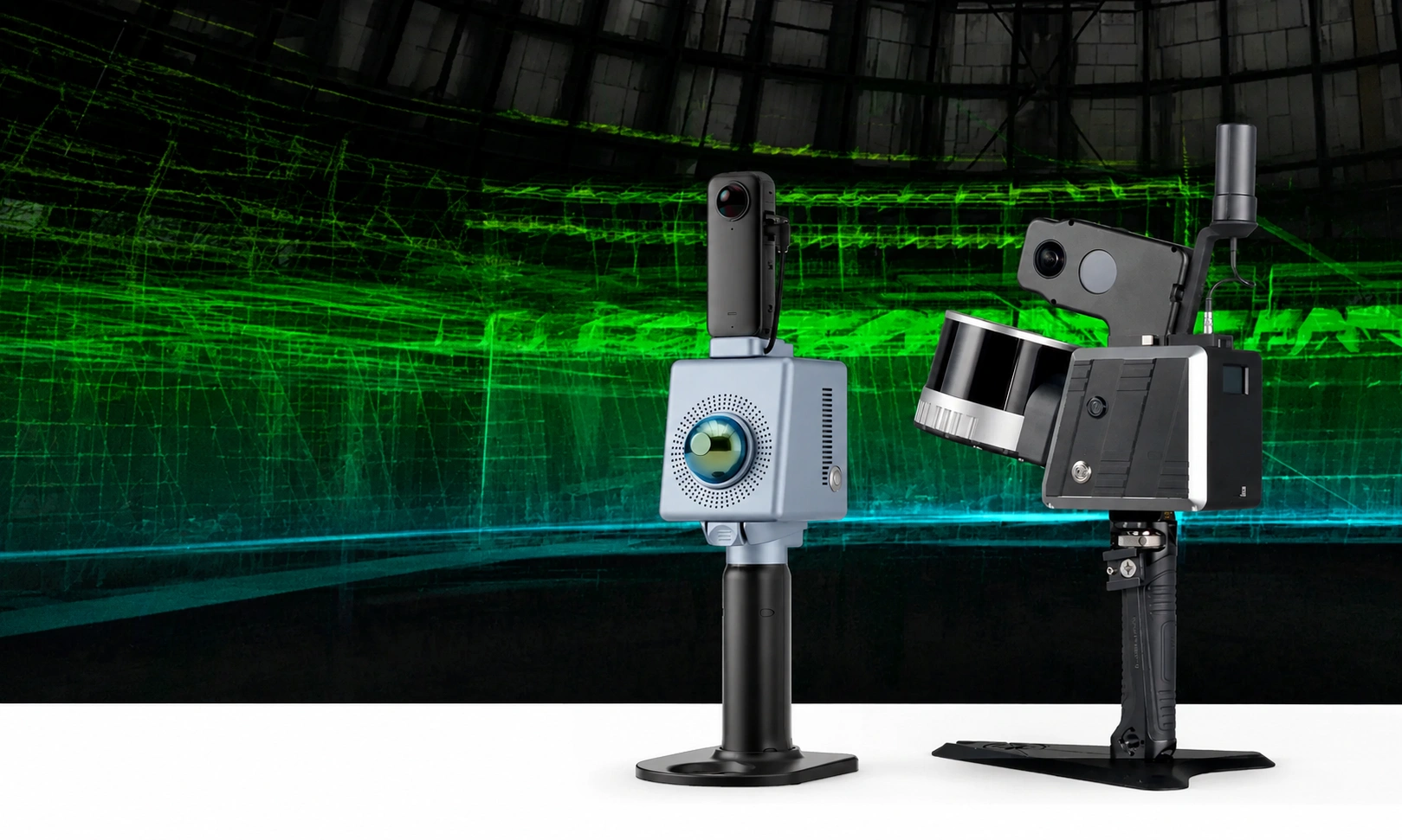
Mobile LiDAR systems, mounted on a vehicle, are designed to capture large areas quickly. Driving along a road or utility corridor, a mobile system collects dense point cloud data — paired with 72MP panoramic imagery — across miles of infrastructure in a single pass. For corridor-level surveys (utility lines along a highway, telecom infrastructure across a region, road network audits) this is the only practical option; manually walking the same distance would take days or weeks.
Handheld, Body-Worn, and Tripod Systems: Built for Detail and Access
Where mobile mapping covers distance, portable systems cover access. A handheld or body-worn unit can go where a vehicle can't — into confined spaces, around obstructions, or close enough to a specific pole or fixture to capture fine detail. Tripod-mounted systems add stability for stationary, high-precision capture of a single site or structure. These are the right choice when the job is narrower in scope but requires getting closer to the asset itself.
The Decision Framework
In practice, the choice usually comes down to two questions: How large is the area you need to cover, and how close do you need to get to individual assets? A regional corridor survey points toward mobile mapping. A detailed inspection of a single pole, structure, or confined site points toward a portable system. Many real projects use both — mobile mapping for the broad pass, portable systems for the close-up follow-up on specific assets flagged during that pass.
That's part of why having both Truly3D (built for mobile mapping data) and Ropoli Studio (built for portable systems) matters — the right viewer software depends on which capture method generated the data, and most serious infrastructure programs eventually need both.
Request Call Back
Related Blogs

Inside Truly3D — From Mobile Mapping Capture to Usable Insight
Inside Truly3D — From Mobile Mapping Capture to Usable Insight
Read More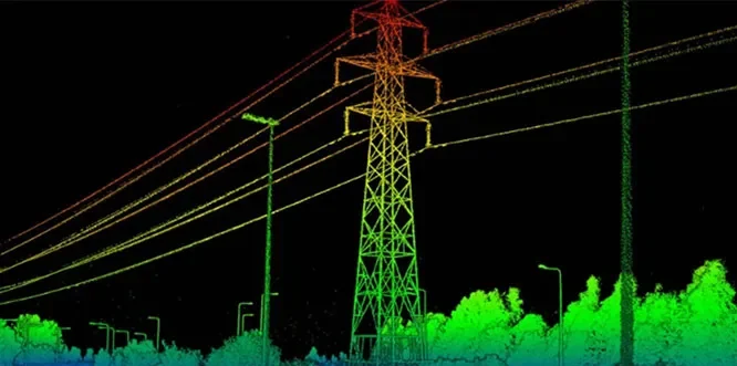
How Telecom Operators Use LiDAR for Pole and Conductor Inspection
How Telecom Operators Use LiDAR for Pole and Conductor Inspection
Read More