
How Telecom Operators Use LiDAR for Pole and Conductor Inspection
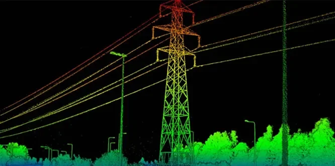
How Telecom Operators Use LiDAR for Pole and Conductor Inspection
Mobile Mapping vs. Handheld LiDAR — Which One Fits Your Survey?

In today’s fast-paced infrastructure and geospatial industry, accuracy and efficiency are more important than ever. Light Detection and Ranging (LiDAR) technology has emerged as a revolutionary solution for capturing highly accurate spatial data, enabling organizations to make informed decisions with confidence.