
Mobile LiDAR
LiDAR Solutions Inc.'s Mobile LiDAR Mapping Solution delivers fast, accurate, and scalable 3D data capture for large-scale infrastructure and asset management projects.
Why mobile mapping is essential for modern workflows
The LiDAR Solutions Mobile Mapping Solution is designed to revolutionize asset management, road survey, and corridor mapping tasks. It eliminates the need for physical surveys, thereby saving valuable time and money for industries like telecom, utilities, smart cities, railways, oil and gas, and DOT sectors.
LiDAR Solutions Mobile LiDAR improves workflow, by reducing the amount of manpower required for surveying large geographical areas.
Highlights:
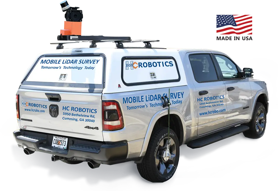
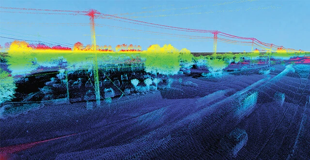
Mobile LiDAR (Light Detection and Ranging) is a powerful remote sensing technology that uses laser pulses to capture detailed 3D data of the environment. Its ability to provide high-precision spatial information in real-time has made it indispensable across a range of industries.